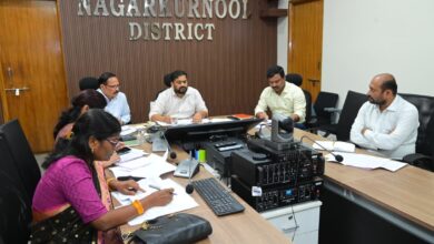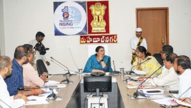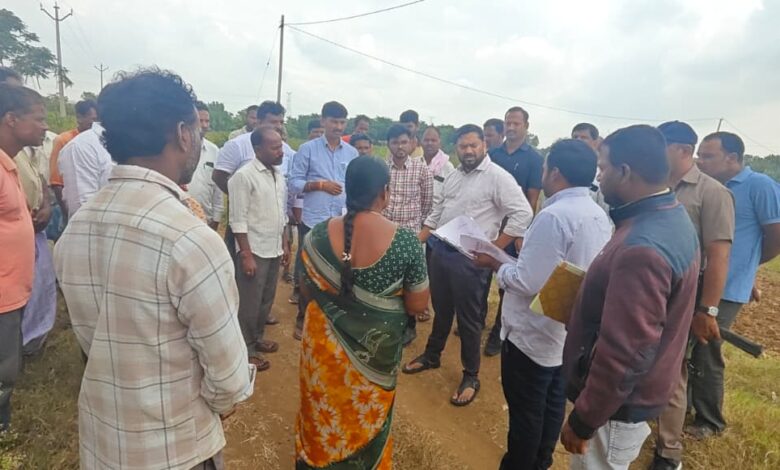
Nagarkurnool: District Collector Hemanth Keshav Patil inspected the ongoing land resurvey process related to irrigation canal lands at Gouthampally village in Telkapally mandal, under Nagarkurnool constituency, on Thursday. During the visit, he reviewed the progress of the resurvey work and instructed officials to conduct a thorough field-level inspection and ensure that all land details are accurately recorded. The Collector enquired with the concerned officials about the progress of the survey, the registration of land details and the status of farmers’ land records. As part of the resurvey process, he examined the details of farmers’ lands, government lands and lands acquired from farmers for irrigation purposes. He sought information about the extent of the survey completed so far and the number of lands yet to be surveyed and recorded. He also verified land extents, boundaries, ownership details and the information available in existing revenue records, comparing them with the actual conditions on the ground. The Collector stressed the need to identify the actual details of every parcel of land through field inspections and ensure that the same information is accurately reflected in official records. He instructed officials to cross-check the land extent recorded in revenue documents with the details identified during the resurvey and ensure proper coordination between the two. He directed officials to carefully verify land boundaries, extents and ownership particulars and maintain accuracy while recording the details. He further instructed them to ensure that farmers’ information was clearly documented and that no errors occurred during the survey process. If farmers had any doubts or objections regarding their land details, officials should verify them with the relevant records and take appropriate steps to resolve them. The Collector also directed officials to conduct the survey by coordinating government land details with those of private agricultural lands and maintain clarity in land classification. He emphasized that accurate documentation of government lands would help prevent land-related disputes and complications in the future. The Collector also enquired about the irrigation lands acquired from farmers and reviewed their extent, survey details and the status of relevant land records. He instructed officials to conduct field-level verification of these lands and cross-check the findings with the available official records. Stressing transparency and accuracy in the resurvey process, the Collector directed officials to thoroughly examine every detail and ensure proper coordination between field-level findings and existing records. He called upon the officials to conduct the resurvey systematically and take all necessary precautions to ensure accurate land records, thereby improving transparency and clarity in land administration. The Tahsildar, MPDO and officials from the concerned departments accompanied the Collector during the inspection.